Understanding the land around us
whatcom.land: public records about local forests and conserved land, in plain language
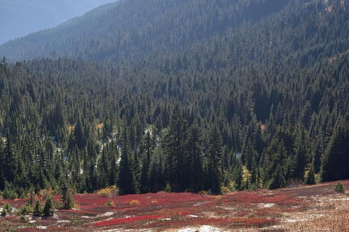 Whatcom County, September 2026.
Early one morning in August I woke up to the sound of logging nearby. Where was it happening? Who approved it? What happens to the land next? I was curious, so I looked into it.
Some of the answers, it turns out, are publicly available. Washington’s Department of Natural Resources (DNR) records every approved timber harvest. The records are open, but they are hard to find and harder to read. I built whatcom.land to help me, and maybe you, understand the land around us a little better.
What does the site show?
Forests. The Forests page maps every area approved for harvest in Whatcom County. You can filter by when a permit was filed and by the kind of harvest, play back the years since 2011, or pick a spot and see what is happening within a few kilometres. I included an explanation that walks through how a harvest permit works, from filing through replanting. DNR’s records name small forest landowners, but I chose to not share their names on the site. A neighbour’s name on a map adds little understanding and some risk. The site does name large forest landowners, which are mostly companies and public agencies.
Conserved. How much of the county is protected? How strongly? Since when? The Conserved page answers these questions using the national Protected Areas Database (PAD-US). About three quarters of Whatcom County’s land is in that database, but only about half of the county is managed mainly for nature. Most of the remainder is multiple use, which includes logging.
Skagit County is there too, for comparison. Similar maps could be built for all the counties in Washington State.
How did I approach it?
Everything on the site comes from public data: DNR harvest records, the US Geological Survey’s Protected Areas Database, and US Census county boundaries. The sources and definitions are linked.
Some things are left off on purpose. I did not map trails and little-used spots on public land because publicity turns quiet places into destinations.
I tried to be clear about what I don’t know. The Conserved page ends with a section on what I still don’t understand.
Here is one example. The Whatcom Land Trust has helped protect about 25,600 acres since 1986. When those lands are laid over the national database, about 8,600 of the acres don’t appear in it at all. PAD-US relies on voluntary submissions, so gaps like this are expected. If the gap is fixed upstream in PAD-US, the site will pick up the updated data automatically.
Why?
In 2023 I argued that citizens in a democracy have a right to participate in science, and that democratic governments have a duty to open science. Opening the records is necessary but it is not sufficient. The records also need to be readable. The site is a small, local experiment in making public records readable.
What did I get wrong?
If you know this land, its history or its data better than I do, I would like to hear from you. There is a form at the bottom of whatcom.land.
I thank my family, friends, and first reviewers for feedback and suggestions for improvement.
